
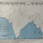
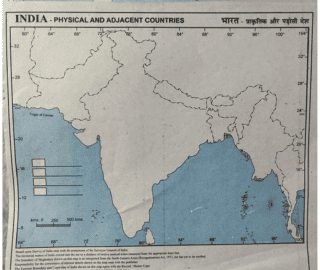


This India Physical Map with Adjacent Countries is an excellent educational resource designed to help students understand India’s geography clearly. The map highlights major physical features such as coastlines, seas, surrounding countries, and geographical boundaries, making learning easy and visual.
Printed on quality paper with clear labeling, this map is perfect for use in schools, coaching institutes, study rooms, and homes. It supports geography learning for multiple academic levels and helps students prepare for exams like school tests, competitive exams, and general knowledge studies.
The simple color scheme and readable layout ensure long-lasting usability and easy comprehension.
| Product Type | India Physical Map |
| Map Category | Physical India Map |
| Usage | Educational & Reference |
| Suitable For | Students, Teachers, Classrooms |
Best For
School & College Students
Teachers & Educators
Geography Learning
Exam Preparation
Classrooms & Study Rooms
Coaching Institutes


Reviews
There are no reviews yet.